 freemapper
freemapper
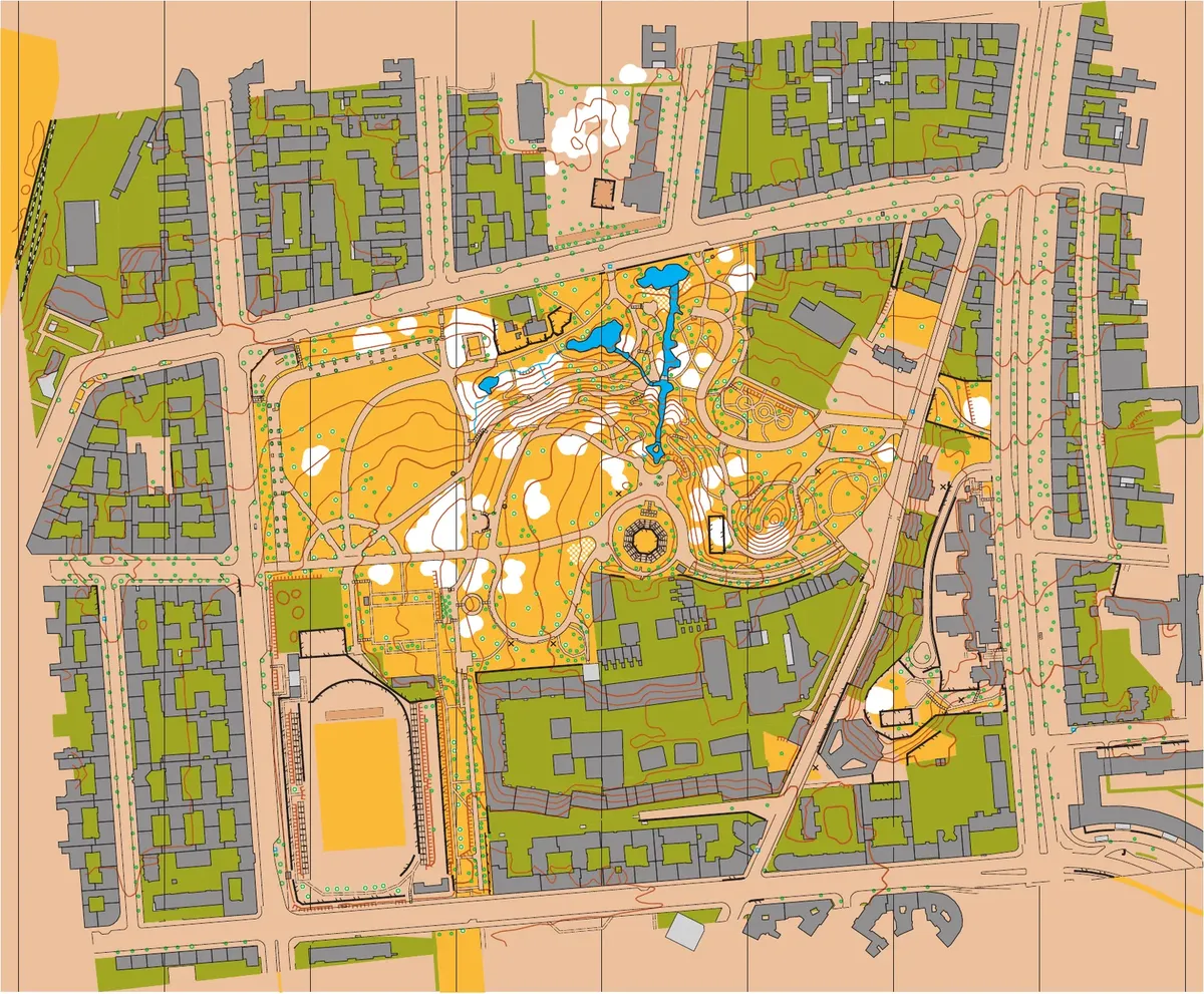
The starting point of the map
Draws buildings, paths, paved areas and everything else the data show reliably, and adds aerial photo, hillshade, slope and vegetation height as templates. What is uncertain comes as a candidate to check. Schoolyard, sprint and forest maps for OpenOrienteering Mapper and OCAD, on request with a training map to print and permit notes.